GIS is more than just maps. At Overland Aotearoa, we use GIS to turn location-based data into clear, actionable insights. Whether you’re managing forests, farms, infrastructure, or environmental projects.
If you can point to it on a map, we can help you understand it better. Let’s chat!
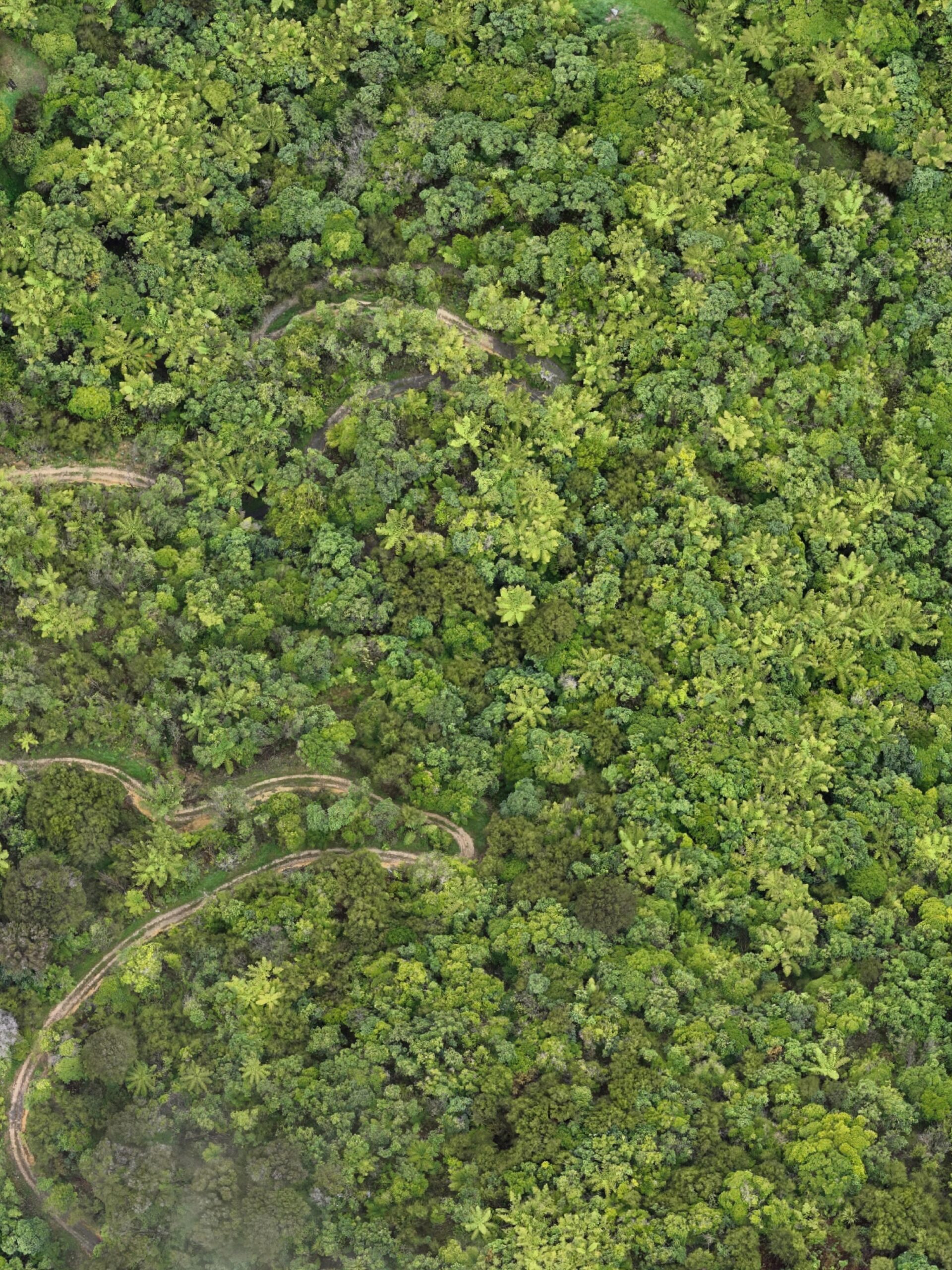
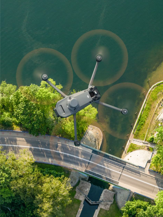
We produce ultra-high-resolution aerial maps that capture every detail—even across complex and challenging terrain—using professional-grade UAV systems and accurate georeferencing. These maps provide stunning visual clarity and critical spatial data to support a wide range of projects.
Crystal-clear maps with a fast turnaround — let us provide the high-quality aerial imagery you need
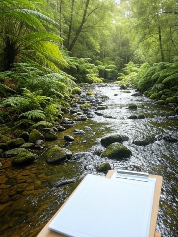
We provide adaptable, professional field support tailored to the needs of projects across forestry, agriculture, and environmental management sectors in New Zealand. With proven experience in a range of forestry operations and ecological assessments—we deliver reliable, high-quality support to meet your project’s specific requirements.